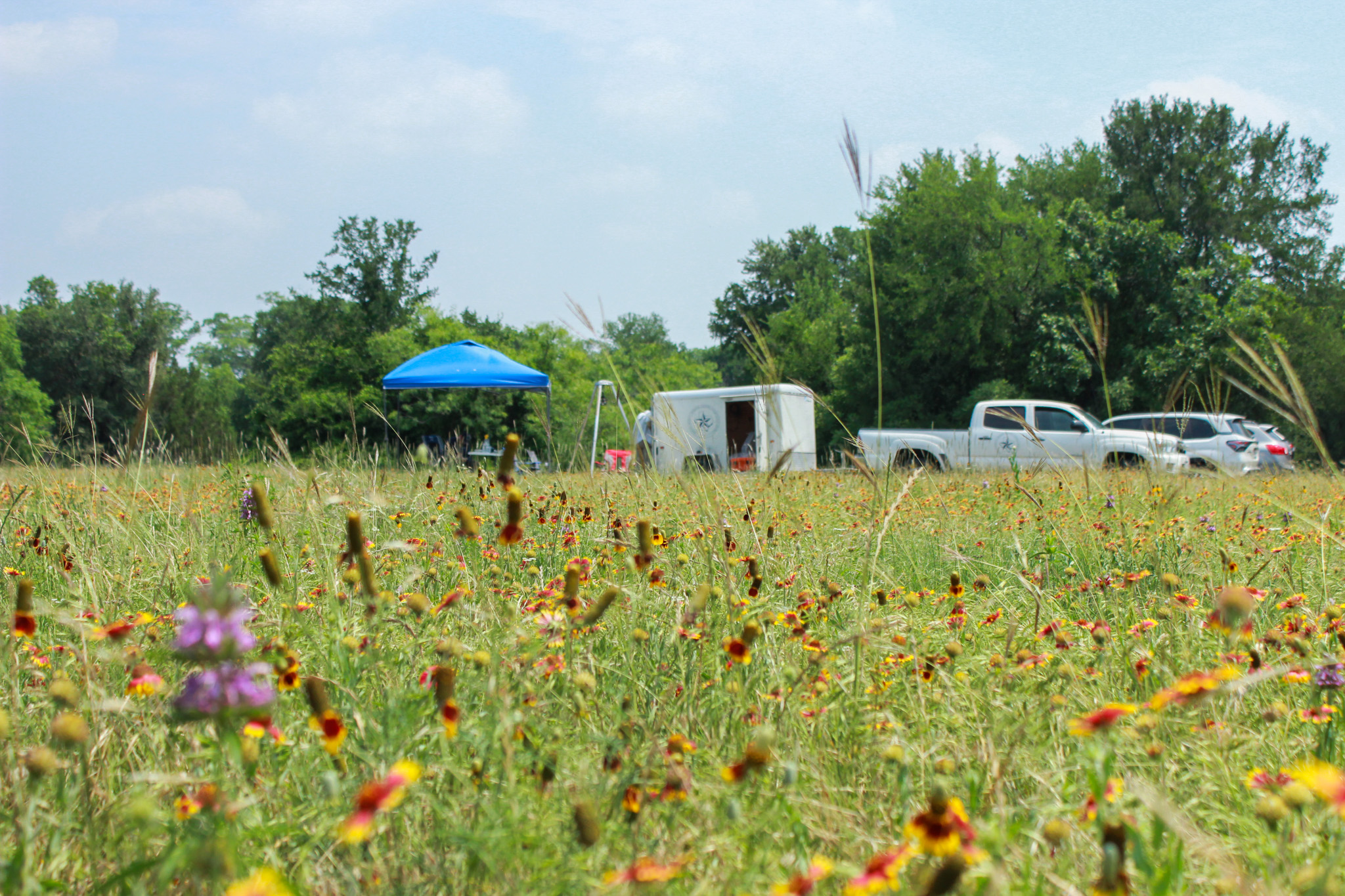
In collaboration with the US Geological Survey (USGS), the District carried out a comprehensive water sampling effort at the Barton Springs Multiport Monitor Well on May 15–16. Located in Zilker Park near Barton Springs Pool, the well was completed in May 2024, with the District collecting initial basic field parameters in July of the same year.
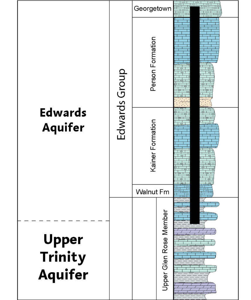
Unlike traditional monitoring wells that typically measure a single interval of an aquifer, this multiport well allows the District to collect data from 14 distinct, isolated zones. Its location and design make it particularly valuable, as it spans 538 feet through the entire Edwards Aquifer and into the upper portion of the underlying Trinity Aquifer, both of which the District oversees and monitors. The District has a total of eight multiport monitoring wells within and near its territory.
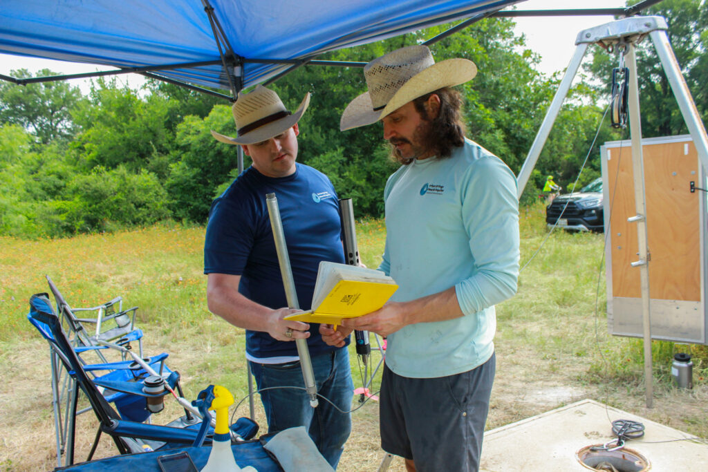
This expanded sampling effort will provide detailed insights into the water chemistry of various aquifer segments. The findings are expected to improve our understanding of groundwater composition, recharge dynamics, and flow paths within the Edwards and Trinity Aquifers near the Barton Springs complex. Water samples from each zone of the multiport well system will be analyzed for constituents such as sodium, calcium, sulfate, magnesium, and more. By examining the chemical similarities and differences across these zones, the District and USGS aim to gain a clearer picture of the water’s geochemical characteristics, the different rock types and minerals it interacts with, and the degree of hydraulic connectivity between the zones.
The City of Austin Watershed Protection Department will also benefit from the sampling data, as the water at this site feeds both Barton Springs Pool and Eliza Spring—critical habitats for the endangered Barton Springs and Austin Blind salamanders.
Visualizing the Aquifers
Below is a stratigraphic column of the Edwards and Upper Trinity aquifers. Stratigraphic columns show the vertical location of rock units in a particular area and typically show the sequence of sedimentary rocks, with the oldest rocks on the bottom and the youngest on top. In the graphic below, you can see where the Barton Springs Multiport Monitor Well begins and the formations it intersects.