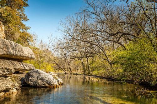
The Edwards and Trinity aquifers are the primary groundwater resources for the Texas Hill Country and are ecologically, culturally, and economically significant to the state. The District manages portions of both aquifers and continuously studies them to adapt management techniques in response to increasing demand and a changing climate.
Overview of the Aquifers
The Edwards and Trinity aquifers are karst aquifers, which form from the gradual dissolution of soluble rock, such as limestone, resulting in unique features like caves and sinkholes. Precipitation runoff enters these landscapes to become groundwater. Surface pollutants can easily run off, enter local aquifers, and contaminate precious groundwater resources. It’s important for each of us be mindful of our actions above ground to protect this natural resource for community members and local ecosystems alike.
While these aquifers can commingle due to faulting, they are primarily separated by layers of rock, also known as “confining layers”. The Edwards Aquifer lies above the Trinity Aquifer in the majority of our District. In the Western portion of our region in Hays County, part of the Edwards has eroded away, leaving the Trinity near the surface.

Edwards Aquifer
The District oversees the Barton Springs segment of the Edwards Aquifer, which covers about 155 square miles. It’s composed of Edwards limestone, which is highly faulted, fractured, and porous (karst). This means water can move quickly through this karst aquifer that ranges from 0 to 450 feet thick.
The Edwards’ high porosity also means surface pollutants (like fertilizers, pet waste, oil, and more) can easily run off and contaminate its groundwater. This portion of the Edwards Aquifer provides the majority of groundwater within the District.
Trinity Aquifer
The aquifer is divided into three sections, the Upper, Middle, and Lower Trinity. The occurrence of fresh groundwater in these is primarily in fractures, along bedding planes, and in karst features.
The rock of the Trinity Aquifer includes smaller pores and crevices in comparison to the Edwards, meaning water moves through it at a slower rate. The Trinity experiences more muted and delayed responses to rainfall and takes longer to recharge. Additionally, this aquifer’s water has higher conductivity and total dissolved solids (TDS).

Aquifer Research
Read more about the District’s ongoing aquifer research to better understand and manage these groundwater resources.
